Niagara Falls / Welland Canal
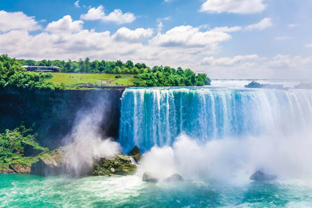
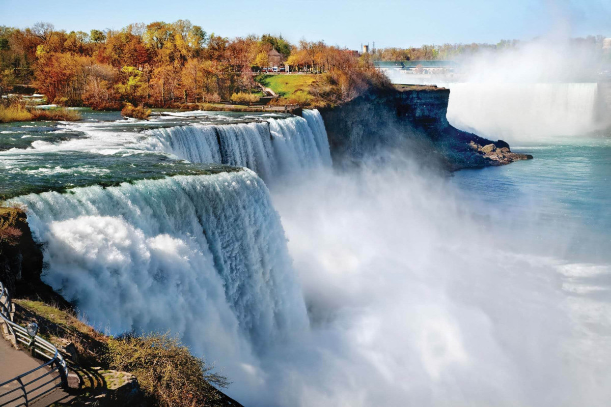
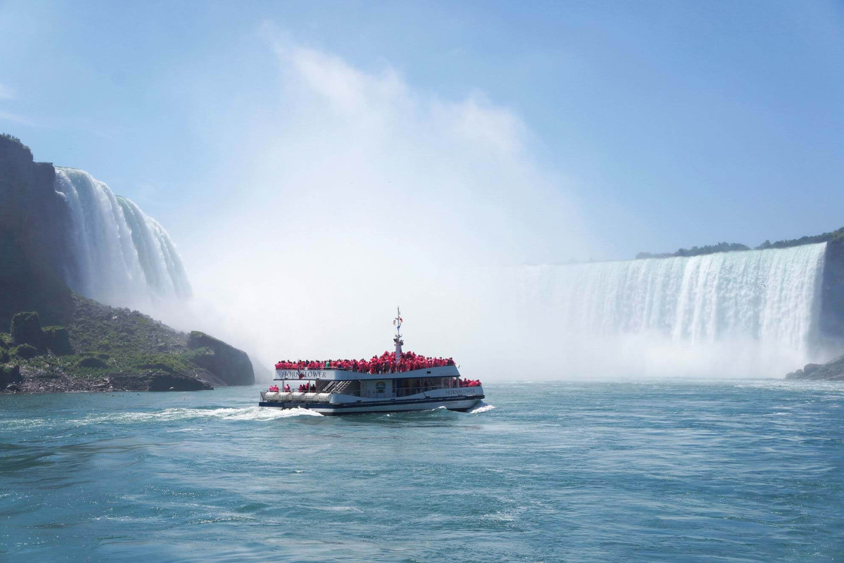
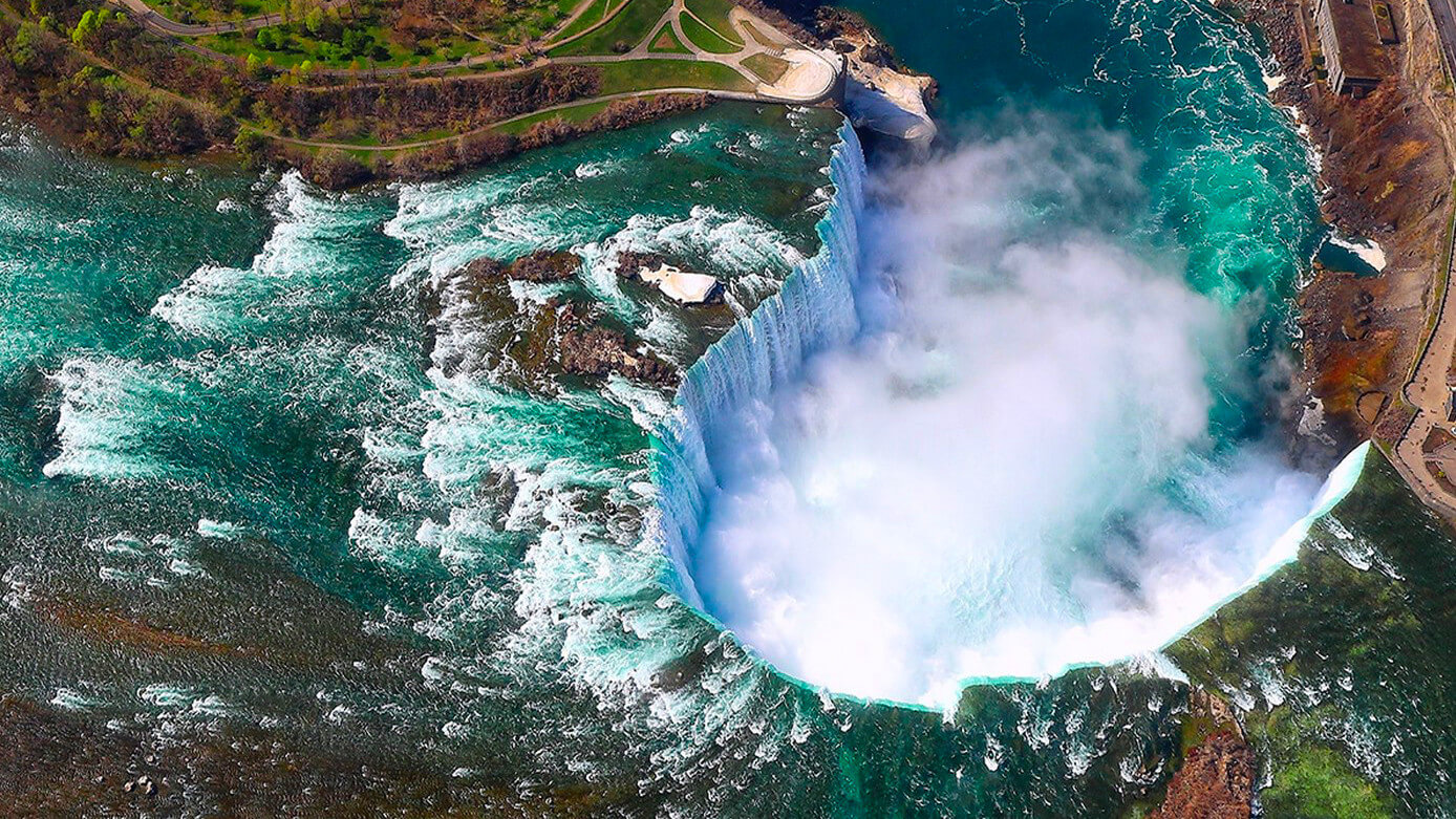
 Niagara Falls is the collective name for three waterfalls that straddle the international border between the Canadian province of Ontario and the US state of New York. They are formed by a great limestone escarpment, jutting up 194 feet at the falls.
The three waterfalls are
- the Horseshoe Falls, which lie on the border of the United States and Canada.
- the American Falls, which lie entirely on the United States’ side, separated by Goat Island.
- the smaller Bridal Veil Falls, to the right of the American Falls, are also on the United States’ side, separated from the American Falls by Luna Island
Horseshoe Falls is the most powerful waterfall in North America, as measured by flow rate. More than six million cubic feet of water goes over the crest of the falls every minute. Niagara Falls is famed both for its beauty and as a valuable source of hydroelectric power.
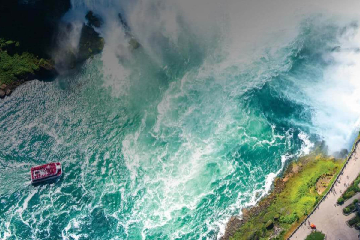
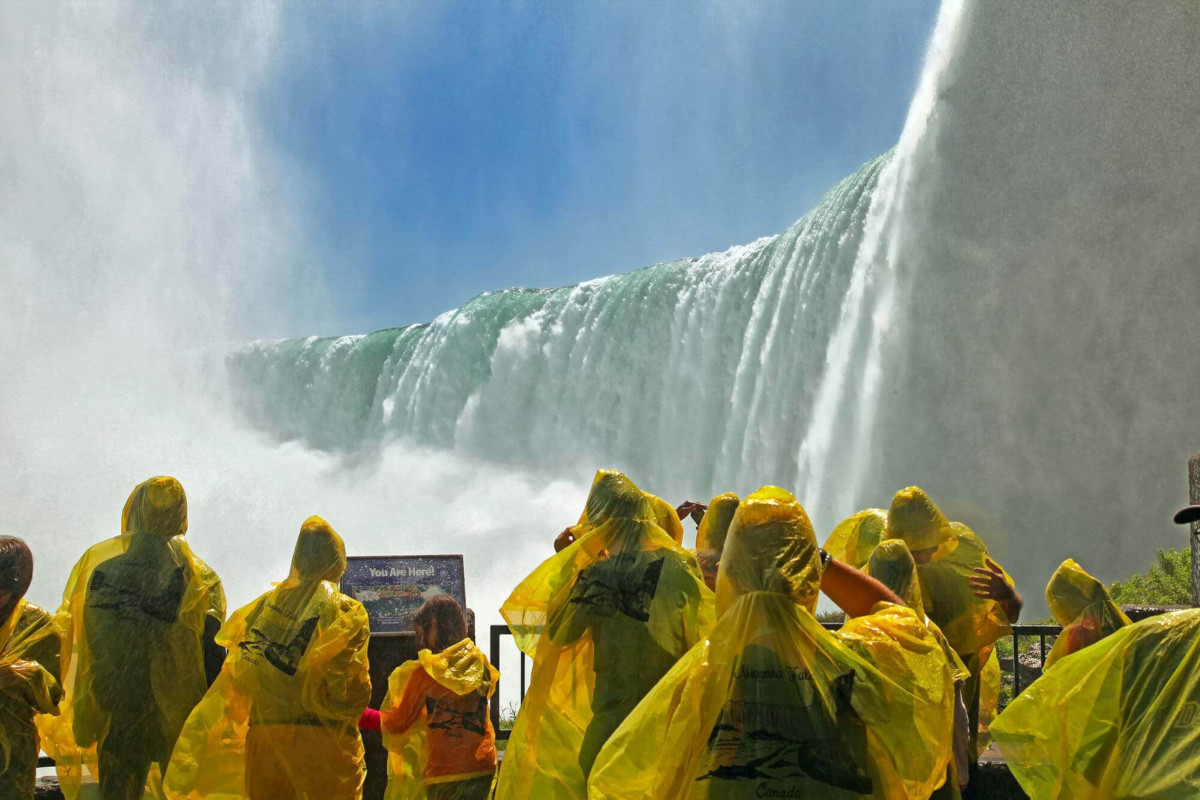
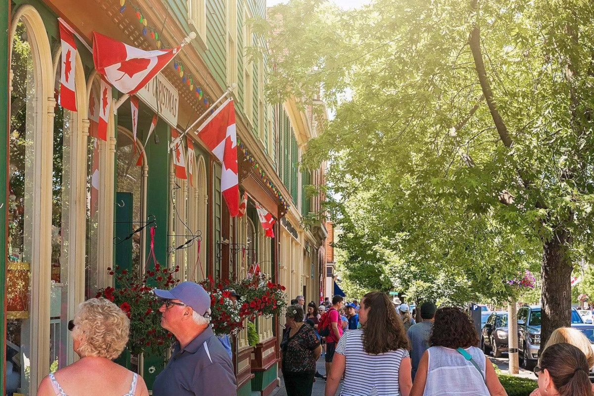
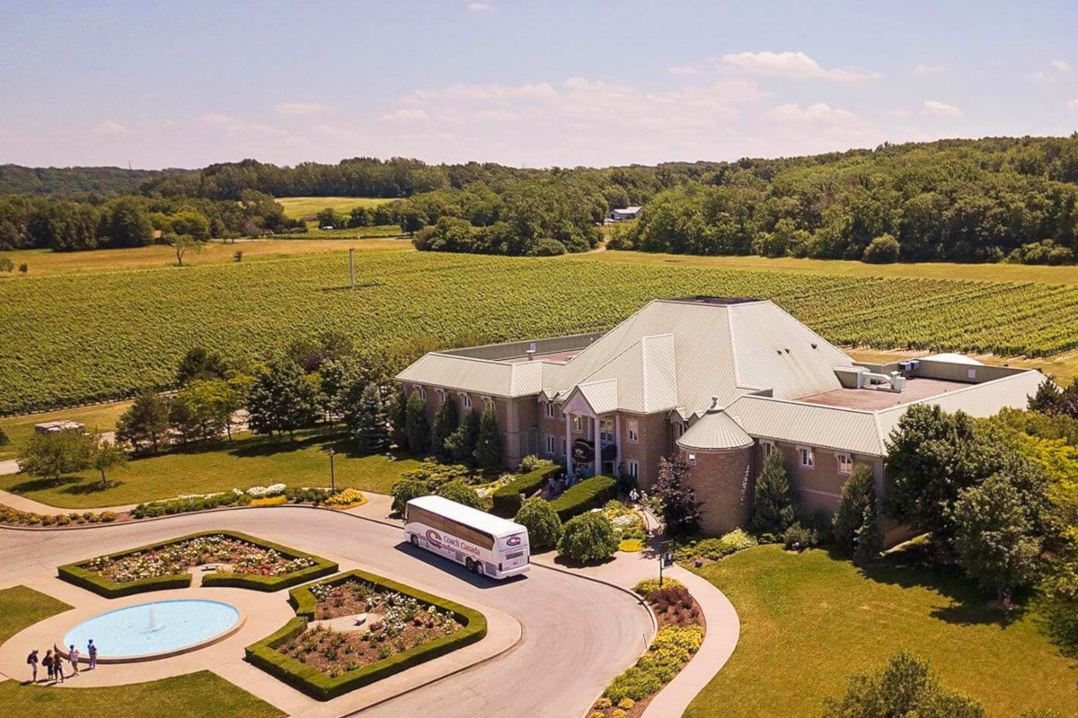
During your visit, take a cruise into the mists of the falls, have lunch at a local winery, or visit the lovely town of Niagara-on-the-Lake.
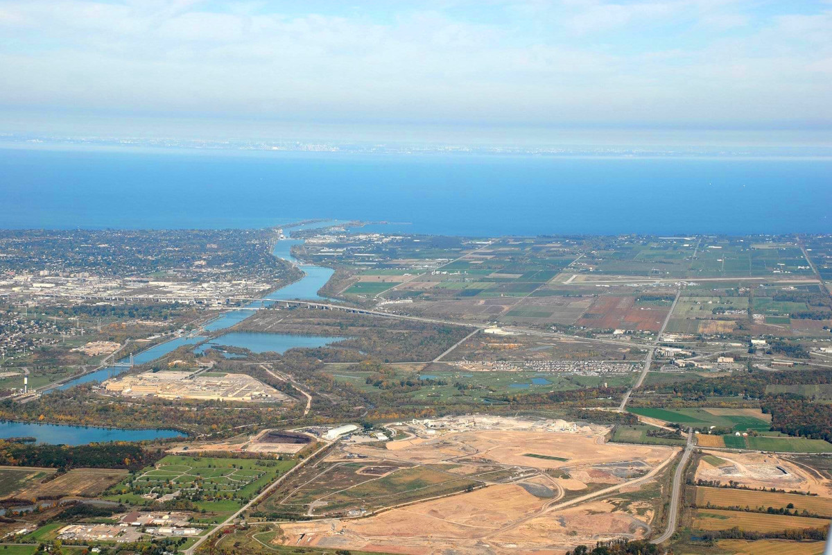
The Niagara Escarpment whose lift caused Niagara Falls also creates an interesting microclimate on the shores of Lake Ontario. In winter, the lake increases the humidity of the surrounding air and moderates the temperature (cooler in summer, warmer in winter). The Niagara Escarpment blocks that air from escaping, making the agricultural land around Lake Ontario perfect for fruit cultivation. Today, Niagara makes 90% of the world’s ice wine.
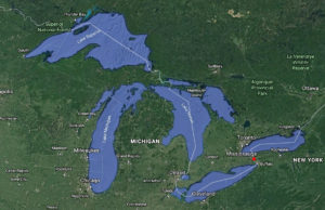
The Welland Canal was first constructed in 1932 to allow ships to traverse the elevation separating Lake Erie and Lake Ontario–a difference of 326 feet! Fun fact: 20% of the world’s freshwater comes down the Niagara River and over these falls!
Photos
Niagara Falls / Welland Canal Photos
Video
Cleveland Video
Tags: niagara falls

